If Météo France maintains the heat wave alert, it also places 25 departments on orange vigilance for thunderstorms. A stormy episode is expected overnight from Thursday to Friday in the northeast of the country. The forecasts.
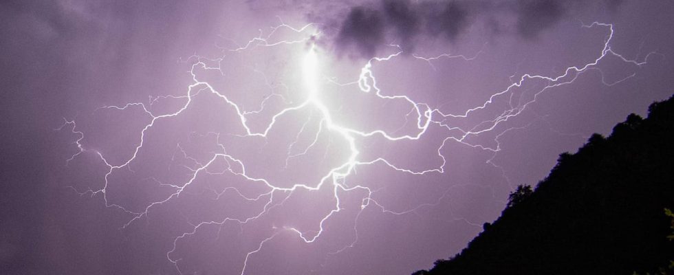
While red heat wave vigilance is maintained in several departments, 25 others are placed on orange vigilance for thunderstorms by Meteo France. The alert should come into effect at midnight this Thursday, August 24 and should last, at least, until mid-afternoon according to meteorologist forecasts. Thunderstorms could gain strength and be violent at times and in places. “These storms are accompanied by hail, high rainfall intensities – 20 to 30 mm sometimes more in a few hours – and gusts of wind that can reach 80/100 km, very locally more”, already warns Météo France.
The meteorological agency also warns of the possibility of extending orange vigilance in certain departments and extending it to other territories during the day on Thursday in view of “other stormy bursts”. The storms must sweep the country from west to east.
Which departments are on orange alert for thunderstorms?
A whole north-eastern part of France is affected by vigilance for bad weather: from Normandy to Île-de-France, via Hauts-de-France, Center-Val-de-Loire and the Pays de la Loire. All the departments of these regions are affected by the alerts with the exception of Indre, Cher, Loire and Vendée.
Brittany is also affected by storm vigilance but at the yellow level. According to meteorologist Guillaume Séchet, “sometimes strong” thunderstorms could still break out in the region during the night.
A heat storm caused by the heat wave?
If the departments in orange vigilance for thunderstorms are not the same as those placed in orange or red vigilance for heat waves, the two meteorological phenomena are linked. The stormy episode announced for Thursday seems to be a “heat storm” driven by hot air and humidity, as is often the case after a heat wave or a heat wave.
This stormy phenomenon is due to the air which heats up under the effect of heat and humidity, this air rises more quickly in the atmosphere while taking on water droplets. A cloud then forms when this warm, humid air reaches cooler temperatures at higher altitudes. The droplets under the effect of the cold freeze and fall back into the atmosphere. During their fall, these frozen crystals collide with the hot air and their meeting leads to an electrical confrontation due to the difference in temperature, which gives rise to lightning and thunderstorms. Note that in general, the higher the temperatures during a heat wave, the more violent the storm.